Aerial View of old YMCA Camp
Description
- Media Type
- Image
- Item Type
- Photographs
- Description
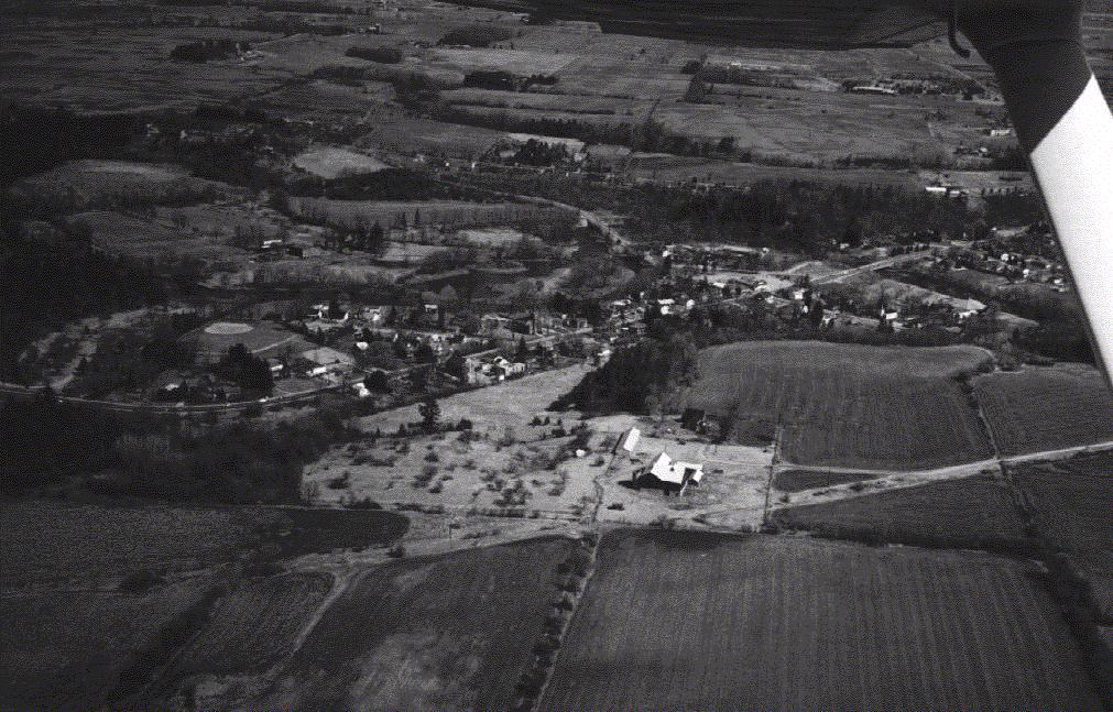
- Aerial photograph of old YMCA camp to the left of the picture. Highway 7 runs through the photograph. Norval is the community shown in the centre. Note the Presbyterian Church spire in the centre of town.
- Notes
- Physical details: 30.5 cm X 20 cm, satin finish colour print, excellent condition.
- Date of Original
- 1996
- Date Of Event
- 1996
- Subject(s)
- Local identifier
- p11502f.jpg
- Geographic Coverage
-
-
Ontario, Canada
Latitude: 43.65011 Longitude: -79.91634
-
- Copyright Statement
- Copyright status unknown. Responsibility for determining the copyright status and any use rests exclusively with the user.
- Contact
- Esquesing Historical SocietyEmail:esquesinghs@gmail.com
Website:
Agency street/mail address:P.O. Box 51,
Georgetown, ON L7G 4T1