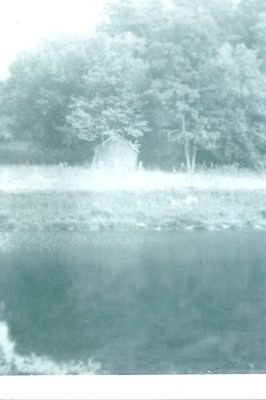
Glenorchy School, S.S. #14 showing the shed over the well
Description
- Media Type
- Image
- Item Type
- Photographs
- Description
- The Glenorchy (aka Glenorky) schoolhouse was located on the flats of the Sixteen Mile Creek on Fourth Line just below Lower Baseline Road. It was also known as "Pleasant Valley School".
The building shown here is the shed protecting the well, the school building can faintly be seen behind it and to the right.
The flats were prone to flooding and the road was quite treacherous in spring and winter, not only because of the flooding but also because there was a hairpin turn as the road crossed the Creek and went up the steep cliffside to Lower Base Line Road. - Subject(s)
- Local identifier
- TTDAS000649
- Collection
- Trafalgar Township Historical Society
- Geographic Coverage
-
-
Ontario, Canada
Latitude: 43.4864770390888 Longitude: -79.7861998043823
-
- Copyright Statement
- Copyright status unknown. Responsibility for determining the copyright status and any use rests exclusively with the user.
- Recommended Citation
- Glenorchy School, S.S. #14 showing the shed over the well
- Contact
-
Trafalgar Township Historical Society Sponsor: Jeff Knoll, Local & Regional Councillor for Oakville Ward 5 – Town of Oakville/Regional Municipality of Halton


