Results
- Artist's drawing of the Eastern bank of the Sixteen Mile Creek in OakvilleArtist's drawing of the Eastern bank of the Sixteen Mile Creek in …Trafalgar Township Historical Society
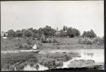
- Erchless Estate is visible across the Sixteen Mile RiverErchless Estate is visible across the Sixteen Mile RiverOakville Museum
- River with ship in distance and buildings on far bank. Person by rocks towards the left of the picture.River with ship in distance and buildings on far bank. Person by …Milton Historical Society
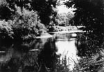
- The Credit River at Terra Cotta.The Credit River at Terra Cotta.Esquesing Historical Society
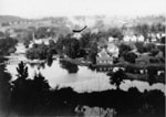
- View of the villiage during flood time from the cemetery.View of the villiage during flood time from the cemetery.Esquesing Historical Society
- postcard showing the Milton River, 1925postcard showing the Milton River, 1925Trafalgar Township Historical Society
- A scene in Livingston's Park, looking West from G.T.R. (Grand Trunk Railway) Bridge, Milton Ontario postcard, 1912.A scene in Livingston's Park, looking West from G.T.R. (Grand Trunk Railway) …Trafalgar Township Historical Society
- A scene in Livingston's Park, looking East from G.T.R. (Grand Trunk Railway) Bridge, Milton Ontario postcard, 1913.A scene in Livingston's Park, looking East from G.T.R. (Grand Trunk Railway) …Trafalgar Township Historical Society
- One in a series of photo/notecards put together by Mary Maxwell in c1990. She was a long time resident of Norval.One in a series of photo/notecards put together by Mary Maxwell in …Esquesing Historical Society
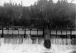
- Dam and footbridge over the Credit River.Dam and footbridge over the Credit River.Esquesing Historical Society
- View taken from upper storey of Glen Woollen Mills looking towards cemetary hill. Flume at centre, river on right.View taken from upper storey of Glen Woollen Mills looking towards cemetary …Esquesing Historical Society
- Lawson's dam in Stewarttown on the Black Creek.Lawson's dam in Stewarttown on the Black Creek.Esquesing Historical Society
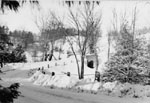
- Bridge over west branch of Credit at Wildwood in the winter. Also see photograph 376.Bridge over west branch of Credit at Wildwood in the winter. Also …Esquesing Historical Society
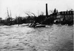
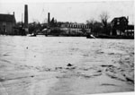
- Credit River in flood. Glen Woollen Mill on right. See P980.Credit River in flood. Glen Woollen Mill on right. See P980.Esquesing Historical Society
- River in flood. Probably the same flood as p979 and 980.River in flood. Probably the same flood as p979 and 980.Esquesing Historical Society
- The dam across the Credit River at Glen Williams in the spring.The dam across the Credit River at Glen Williams in the spring.Esquesing Historical Society
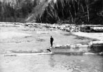
- Man standing on the remains of the destroyed dam across the Credit River. See p991Man standing on the remains of the destroyed dam across the Credit …Esquesing Historical Society
- Summer view of the village from the cemetery.Summer view of the village from the cemetery.Esquesing Historical Society
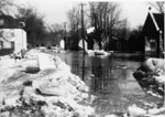
- Main Street looking north during a flood. St. Alban's is on the right.Main Street looking north during a flood. St. Alban's is on the …Esquesing Historical Society
Halton Images is created and maintained by the public libraries of Halton Region, the Burlington, Esquesing, Milton, Oakville and Trafalgar Township Historical Societies.


