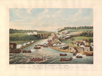
Map of Historic Niagara, Showing the Principal Points of Interest in Connection with the History of the Niagara River
Description
- Commanditaires

 This item is a part of the 1812 History digitization project. This project was made possible with the support of the Department of Canadian Heritage through the Canadian Culture Online Strategy.
- Créateur
- Unknown
- Médias
- Image
- Type d'élément
- Maps
- Description
- Made for Peter A. Porter. It outlines all the major historical sites for the War of 1812 in Niagara.
- Sujet(s)
- Couverture géographique
-
-
Ontario, Canada
Latitude: 43.0688877741696 Longitude: -78.9450073242188
-
- Déclaration de droit d'auteur
- Protected by copyright: Uses other than research or private study require the permission of the rightsholder(s). Responsibility for obtaining permissions and for any use rests exclusively with the user.
- Conditions d'utilisation
- Please contact the RiverBrink Art Museum for any reproductions of this image.
- Contacter
- RiverBrink Art MuseumCourriel:curator@riverbrink.org
Adresse Internet:
Adresse postale d'agence116 Queenston St.
PO Box 266
Queenston, ON
L0S 1L0


