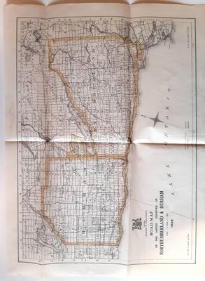
Road Map of United Counties of Northumberland and Durham. Dated 1928.
Description
- Media Type
- Image
- Text
- Item Type
- Maps
- Description
- Road Map of United Counties of Northumberland and Durham. Dated 1928.
- Date of Publication
- 1928
- Language of Item
- English
- Geographic Coverage
-
-
Ontario, Canada
Latitude: 43.95977 Longitude: -78.16515
-
- Copyright Statement
- Copyright status unknown. Responsibility for determining the copyright status and any use rests exclusively with the user.
- Contact
- Cobourg Museum FoundationEmail:info@cobourgmuseum.ca
Website:
Agency street/mail address:c/o Victoria Hall, 55 King Street West
Cobourg, ON K9A 2M2 Phone number: 19053737222


