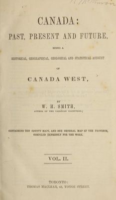
Canada past, present and future : being a historical, geographical, geological and statistical account of Canada West : containing ten county maps, and one general map of the province, compiled expressly for the work, 1851.
Description
- Creator
- William Henry Smith; T. Maclear, Toronto
- Media Type
- Publication
- Description
- The publication entitled 'Canada past, present and future' features several pages of the original item which pertains to Cramahe Township. A complete digital copy of this publication can be found at https://archive.org/details/canadapastpresen02smit_1/page/n229/mode/2up/search/Cramahe and and can also be accessed by using the link on the right of this page. The search box on their website has a high degree of accuracy but is not infallible.
This publication has a map of Northumberland and Durham showing Colborne and Cramahe and marking creeks, roads, grist mills, and saw mills. Several pages describe Colborne and Cramahe.
See the Pages box at top of this record and click the downward pointing select arrow to access the 5 pages listed in the index below.
Cover
Title page
Peterborough, Durham and Northumberland map, p.26
Newcastle District - Cramahe Township, p.190
Colborne and Cramahe, pp.211-212
Reference to the 19 Common Schools in Cramahe, p.220
- Notes
- Cramahe Archives does not hold the original item in its archives, but has a digital image.
- Date of Original
- 1851
- Subject(s)
- Language of Item
- English
- Geographic Coverage
-
-
Ontario, Canada
Latitude: 44.00012 Longitude: -77.8828
-
- Copyright Statement
- Copyright status unknown. Responsibility for determining the copyright status and any use rests exclusively with the user.
- Copyright Holder
- Copyright, public domain: Cramahe Township Public Library owns the rights to the archival copy of the digital image.
- Contact
- Cramahe Township Public LibraryEmail:cramlib@cramahetownship.ca
Website:
Agency street/mail address:6 King Street West
PO Box 190
Colborne, ON K0K 1S0


