Results
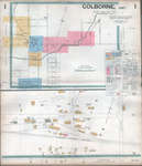
- This map was downloaded from the McGill University digital libary illustrated historical atlas project website. The downloaded map that is available here does not zoom in clearly but provides a referThis map was downloaded from the McGill University digital libary illustrated historical …
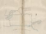
- A screenshot of this map was taken to illustrate Cramahe Township.A screenshot of this map was taken to illustrate Cramahe Township.
- Family names noted on map. Paper map glued to a cardboard backing. 17" w. x 11 1/2" l.Family names noted on map. Paper map glued to a cardboard backing. …
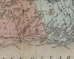
- Catalogued by Toronto Public Library Digital Archive and downloaded from their site. See external link to the right of this record to access the original source of this map. Map of the North Shore ofCatalogued by Toronto Public Library Digital Archive and downloaded from their site. …
- A detail of the original map was taken to illustrate the location identified as Colborne.A detail of the original map was taken to illustrate the location …
- This detail map is based upon a map that was downloaded from the Archives of Ontario. The detail map provides greater clarity than with the original one that is currently available in this CTPL archiThis detail map is based upon a map that was downloaded from …
- Highly detailed street level map with building / owner identified information. Use the drop down box at the top left of the screen to access the desired page. Click on the image to use the zoomify feHighly detailed street level map with building / owner identified information. Use …
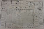
- Business Directory frames three sides of the county map. 22 3/4" l. x 33" w.Business Directory frames three sides of the county map. 22 3/4" l. …
- On the reverse side: Business Directory Map of the Northumberland and Durham Counties 13 1/4" l. x 25 1/4" w.On the reverse side: Business Directory Map of the Northumberland and Durham …
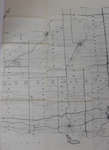
- Indicates road allowance and location numbers.Indicates road allowance and location numbers.
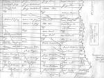
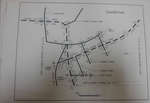
- Hand drawn map outlining acreage owned by several families.Hand drawn map outlining acreage owned by several families.
- Land Plan of part of Lot 27, Conc.1 & 2 and part of Lots 210 and 211, Plan of village of ColborneLand Plan of part of Lot 27, Conc.1 & 2 and part …
- Land Plan of part of Lot 30, Conc. 2, Plan of village of Colborne, the Director, the Veterans' Land ActLand Plan of part of Lot 30, Conc. 2, Plan of village …
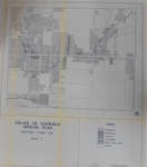
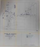
- Legend: Residential Commercial Industrial Institutional Park/Open Space VacantLegend: Residential Commercial Industrial Institutional Park/Open Space Vacant
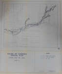
- Legend: Regional Storm Floodline 1:100 Year Floodline Fill LineLegend: Regional Storm Floodline 1:100 Year Floodline Fill Line
- Legend: 1. Colborne Fire Hall 2. Colborne Municipal Hall, Clerk's Office, Public Library 3. Colborne Post Office 4. Bell Canada 5. Public Works Building 6. Colborne Utilities Building 7. Hydro Sub-stLegend: 1. Colborne Fire Hall 2. Colborne Municipal Hall, Clerk's Office, Public …
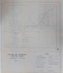
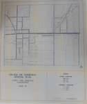
- Legend: Provincial Highway County Road Municipal Street RailroadLegend: Provincial Highway County Road Municipal Street Railroad
- Legend: Under Construction Under Renovation Needs RepairLegend: Under Construction Under Renovation Needs Repair
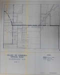
- Legend: Street Condition: Good Fair Poor Sidewalk Condition: Good Fair PoorLegend: Street Condition: Good Fair Poor Sidewalk Condition: Good Fair Poor


