Results
- The Government of Ontario was proceeding with work on Highway 17 in 1949. By 1950, it was decided that the route would include Marathon, Ontario, on the Trans Canada Highway. The construction was toThe Government of Ontario was proceeding with work on Highway 17 in …
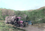
- This postcard was colourized.This postcard was colourized.
- This coloured postcard reveals the beauty surrounding the Big Pic River and Heron Bay on the shore of Lake Superior. Possible hazards of the road were dramatized one late October day when a 'Eulid' tThis coloured postcard reveals the beauty surrounding the Big Pic River and …
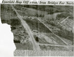
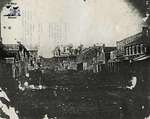
- This partial newspaper article, circa 1948 included an aerial photo of the Town of Iron Bridge and discussed the traffic patterns of travelers passing through to varied destinations.This partial newspaper article, circa 1948 included an aerial photo of the …
- Photo is in fair to poor condition with yellowing and damage from where it was glued to a card.Photo is in fair to poor condition with yellowing and damage from …
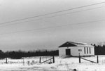
- This winter photo taken in 1977 is of the Seventh Day Adventist Church along Highway 17 east in Iron Bridge. It is a small one story white building set out in a field. A ramp leads up to the front doThis winter photo taken in 1977 is of the Seventh Day Adventist …
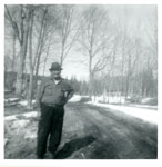
- This is a black and white photo of Sam Bobiwash standing outside on the bare side of a dirt road. Mr. Bobiwash wears a hat, long-sleeved shirt and pants. There is some snow on the ground and the treeThis is a black and white photo of Sam Bobiwash standing outside …
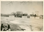
- Notes on the back of the photo read: Present bridge in Iron Bridge under construction.Notes on the back of the photo read: Present bridge in Iron …
- Condition: Good - The image is clear. Slight discolouration of photo. Photo is worn along bottom right corner. Album matte in fair condition, severe staining and wear around edges.Condition: Good - The image is clear. Slight discolouration of photo. Photo …
- Condition: Good copy - Some glue residue on the back of the photo, a small tear in the centre of the image.Condition: Good copy - Some glue residue on the back of the …
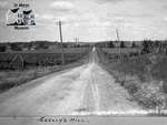
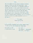
- Copy of a letter written by J.W. Crooks in May 1816 dicussing the creation of a road, as requested by freeholders residing in Four Mile Creek, from below the hill of the late Joseph Clements, in a diCopy of a letter written by J.W. Crooks in May 1816 dicussing …
- Condition: Very good copy.Condition: Very good copy.
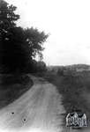
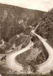
- Black and white postcard of a winding road in the mountains.Black and white postcard of a winding road in the mountains.
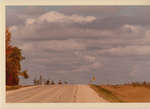
- Agriculture Farms, sky, road and tree with leaves changing colour, Kent CountyAgriculture Farms, sky, road and tree with leaves changing colour, Kent County
- General - Roads and Highways, highway 401 from C+O Railway Overpass, ChathamGeneral - Roads and Highways, highway 401 from C+O Railway Overpass, Chatham


