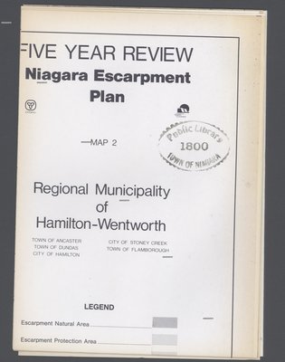
Niagara Escarpment Plan: Regional Municipality of Hamilton-Wentworth, 1991 (Map 2)
Description
- Creator
- Niagara Escarpment Commission
- Media Type
- Image
- Item Types
- Maps
- Plans
- Description
- Map of a section of the Niagara Escarpment, encompassing the Municipality of Hamilton-Wentworth. This includes Ancaster, Dundas, Hamilton, Stoney Creek, and Flamborough.
Compiled as a part of a full proposed revision to the Niagara Escarpment Plan in 1991. Map information was supplied by the Department of Energy, Mines, and Resources c. 1980.
The revision itself was compiled by the Niagara Escarpment Commission, 1983.
- Date of Publication
- 1991
- Dimensions
-
Width: 106 cm
Height: 77 cm
- Subject(s)
- Language of Item
- English
- Copyright Statement
- Copyright status unknown. Responsibility for determining the copyright status and any use rests exclusively with the user.
- Contact
- Niagara-on-the-Lake Public LibraryEmail:localhistory@notlpl.org
Website
Agency street/mail address:10 Anderson Lane P.O. Box 430
Niagara-on-the-Lake, ON L0S 1J0
905-468-2023


