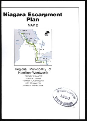
Niagara Escarpment Plan: Regional Municipality of Hamilton-Wentworth, 1994 (Map 2)
Description
- Creator
- Niagara Escarpment Commission
- Media Type
- Image
- Item Types
- Maps
- Plans
- Description
- Map of a section of the Niagara Escarpment, encompassing the Regional Municipality of Hamilton-Wentworth. This includes Ancaster, Dundas, Flamborough, Hamilton, and Stoney Creek.
Compiled as a part of a full proposed revision to the Niagara Escarpment Plan in 1994. Map information was supplied by the Department of Energy, Mines, and Resources c. 1989-1992.
The revision itself was compiled by the Niagara Escarpment Commission, 1994. - Date of Publication
- 1994
- Dimensions
-
Width: 106 cm
Height: 77 cm
- Subject(s)
- Language of Item
- English
- Geographic Coverage
-
-
Ontario, Canada
Latitude: 43.25012 Longitude: -79.06627
-
- Copyright Statement
- Copyright status unknown. Responsibility for determining the copyright status and any use rests exclusively with the user.
- Contact
- Niagara-on-the-Lake Public LibraryEmail:localhistory@notlpl.org
Website
Agency street/mail address:10 Anderson Lane P.O. Box 430
Niagara-on-the-Lake, ON L0S 1J0
905-468-2023


