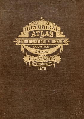
Cramahe Township in the Illustrated Historical Atlas of 1878
Illustrated Historical Atlases

Cramahe and Colborne references in the Illustrated Historical Atlas of Northumberland & Durham Counties Ontario, H. Belden & Co. Toronto, 1878 (Belleville, Ontario; 1972 reprint). Details
Illustrated Historical Atlases, published between 1874 and 1881, offerred town and township maps, house and farm views, portraits, historical information and a patrons' directory to its readers. Both subscriptions and patron support for written and/or visual references to the financial backer, typically a businessman or a politician, enabled the publication of these atlases. Specific county information appears in illustrated atlases which feature a single county, multiple counties, or as supplements to the Dominion of Canada atlas. The Illustrated Historical Atlas of the Counties of Northumberland and Durham contains considerable cultural and social information about Cramahe Township, a valuable resource for those with an interest in the early days of the area and its families. Please note that Cramahe Township Public Library has a copy of the 1972 reprint in the Colborne Branch reference section.
